CoastGIS 2021 in Raseborg
Update on Thursday, November 25:
Thank you to all speakers and attendees for an excellent symposium.
Recordings of nearly all of the presentations from CoastGIS 2021 are freely and publicly available here.
A downloadable Book of Abstracts is available here.
We wish you a pleasant rest of this year and thank you again for your attendance.
The CoastGIS 2021 Local Organising Committee
Introduction
CoastGIS 2021 was held on 16-17 September 2021 as an all-online symposium. It was hosted by Novia University of Applied Sciences in Raseborg on the South Coast of Finland.
CoastGIS 2021 was the 14th international Coastal GIS Symposium for an international exchange of knowledge, ideas and experience on how spatial data and information technologies aid marine and coastal zone managers and stakeholders in better understanding and managing coastal space and resources.
The symposium theme "Sustainable Coastal Planning in a Changing World" refers to the challenges faced worldwide in light of sustainable development and emphasis was on cooperation in spatial planning between countries. The symposium aimed to address recent challenges in managing our coastlines effectively and sustainably.
What is CoastGIS?
CoastGIS is a biennial series of symposia that brings together practitioners and researchers in the fields of marine and coastal Geographic Information Systems, remote sensing and computer cartography. It is an established major international coastal and marine event attracting delegates from around the globe. A wide range of topics have been covered in previous years covering technological advances and progress, and the evolving challenges.
The CoastGIS International Symposium is usually held once every two years under the joint scientific sponsorship of the Commission on Coastal Systems of the International Geographical Union (IGU/CCS) and the Commission on Marine Cartography of the International Cartographic Association (ICA/CMC).
The first International Symposium on GIS and Computer Cartography for Coastal Zone Management, CoastGIS, took place at University College Cork in Ireland in 1995. The second CoastGIS meeting took place in Aberdeen, Scotland, two years later and, since then, CoastGIS symposia have been held in Brest, France in 1999; Halifax, Nova Scotia in 2001; Genoa, Italy in 2003; Aberdeen again in 2005; Sydney and Wollongong, Australia, in 2006; Santander, Spain in 2007; Santa Catarina, Brazil, in 2009; Oostende, Belgium, in 2011; Victoria, on Canada’s West Coast in 2013, Cape Town, South Africa in 2015 and Ísafjörður, Iceland in 2018. Over the years, the CoastGIS events continue to provide a showcase for new developments in information management and technology as well as a learning experience for all involved in coastal zone management, science and research.
CoastGIS 2021 in Raseborg was overseen by the International CoastGIS Committee (David R. Green - University of Aberdeen - Chair). The Symposium was planned by a local organising team in Finland at the host institution, Novia University of Applied Sciences.
Contact
The CoastGIS 2021 email address (coastgis2021@novia.fi) is no longer in use.
If you would like to be in contact about CoastGIS 2021, please send an email to David R. Green (Chair of the International CoastGIS Committee; University of Aberdeen) or Stefan Heinänen (Novia University of Applied Sciences). Their email addresses are available on the websites of their respective institutions.
With the generous support of
Silver Sponsor

Bronze Sponsor

CoastGIS 2021 also enjoyed the financial support of Svenska kulturfonden (The Swedish Cultural Fund in Finland) and the Federation of Finnish Learned Societies.


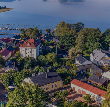
Banner photo: Ekenäs Old Town by Johan Ljungqvist for Visit Raseborg.

